The ‘Ku-ring-gai GeoRegion (KGR), an area of approximately 440 sq km, is a community-backed project initiated by FOKE. The GeoRegion embraces the Ku-ring-gai Chase National Park, other bushland areas, as well as the coast and estuaries located just north of Sydney.
To understand the area covered by the Ku-ring-gai GeoRegion and its areas of importance, just click on this link to the Ku-ring-gai GeoRegion video.
The first geotrail signs have been installed to highlight the geology and biodiverstity evidenced at Browns Field in Wahroonga. Other proposed geotrails and geosites across the GeoRegion are being finalised to interpret the geological/landscape stories (inclusive of Aboriginal cultural heritage) that support the importance of the GeoRegion.
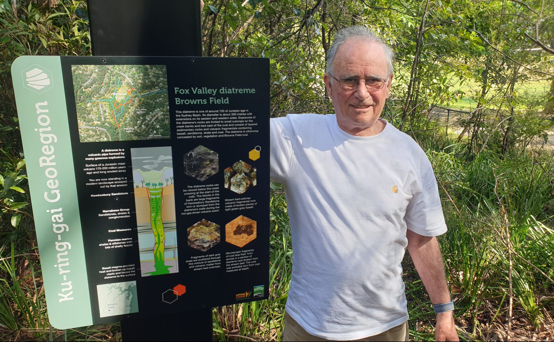
The Browns Field geotrail includes a number of geosites that are easily accessible and are interconnected around the now cleared parkland in the centre of the Fox Valley diatreme. A diatreme is a volcanic crater/plug formed by explosive eruptions which have then been eroded. Sites show highly weathered outcrops of fine to medium grained, quartz-poor fragmental volcanic rocks interlayered with much finer grained bedded rocks of possible crater-lake sediments.
Many rainforest plants unusual to the Sydney area are present, such as golden sassafras, jackwood, wild quince, giant maidenhair, fishbone water fern, strap water fern, and the sub-tropical rainforest tree – the koda (Ehretia acuminata). A population of the critically endangered scrub turpentine also persists at Browns Field.
An explanation of this geological setting has been captured within the newly designed and installed signage (pictured) funded by Ku-ring-gai Council and managed by KGR Steering Committee member, Dr John Martyn (also pictured).
Importantly, these sites and trails are both interesting and educational. The Browns Field diatreme is the first and worth a visit to explore and learn what we have in our backyard!
